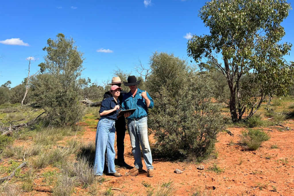
The carbon abatement reported by our Wongamere project has been robustly calculated using the Australian Government’s Full Carbon Accounting Model (FullCAM) tool, in line with the method, and our on-ground team members frequently visit the project to ensure the vegetation is regenerating as planned. In addition to the carbon outcomes, baseline ecological surveys have been undertaken to help realise the project’s contribution to enhancing and protecting biodiversity, such as critical koala habitat, in the region.
This project also contributes to UN Sustainable Development goals 8, 13 and 15.
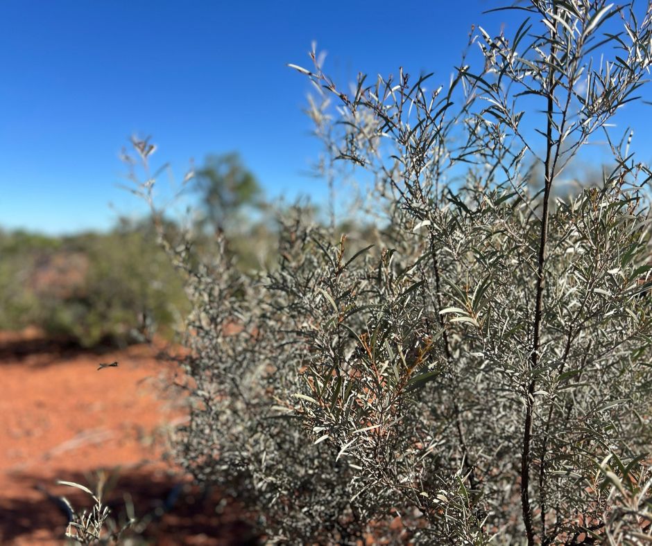
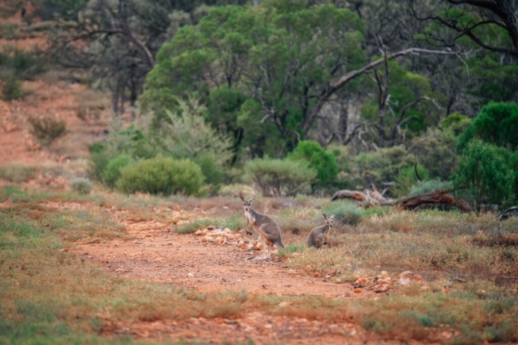
Located approximately 135 km northeast of Cunnamulla lies Wongamere Station, on which the TEM Wongamere Forest Regeneration project is registered. Wongamere has historically been a commercial grazing enterprise for both sheep and cattle, and native vegetation on the property has been suppressed through a combination of mechanical suppression (e.g. broadscale and selective clearing) and extensive livestock grazing.
The baseline period for Human Induced Regeneration (HIR) projects is 10 years prior to project implementation. During Wongamere’s baseline period (2012-2022), woody vegetation on the property was actively pulled (using heavy machinery), pushed (using heavy machinery, typically either in belt or spot clearing patterns), or cut/lopped (using chainsaws, typically in smaller areas), to reduce canopy cover, provide a food source for livestock, and keep the tree height sufficiently low so foliage is within reach of grazing livestock.
The project HIR activities began after project registration in March 2023, which included:
- the implementation of a decision to permanently cease the mechanical or chemical destruction, or suppression of regrowth, and
- management of the timing, and the extent, of grazing.
TEM works closely with cattle agistees on the property to implement strategies to manage the timing and extent of grazing. Such strategies include the close monitoring of pasture and water availability, tree health and fire risk in each paddock to determine stocking rate and livestock movement across the property and ensure the safeguarding of regenerating vegetation in Carbon Estimation Areas (CEAs).
Additionally, the property is subject to a maximum stocking rate, with the stocking rate selected being less than half of the baseline rate – significantly reducing the impact of grazing on regeneration. Tree health monitoring results show a limited impact on regenerating vegetation from grazing, with more than 95% of trees showing no sign of grazing impact in recent offsets reports.
To protect carbon stored in regenerating vegetation, the project has a robust and ongoing fire management plan to continuously monitor for and mitigate fire risk; feral animals, weeds and pests are also monitored. TEM staff regularly conduct site inspections to the property to ensure method compliance, operational efficiency and to maintain positive relationships with the agistees, who help manage the land operations.
Since registration, the project has issued over 34,000 ACCUs.
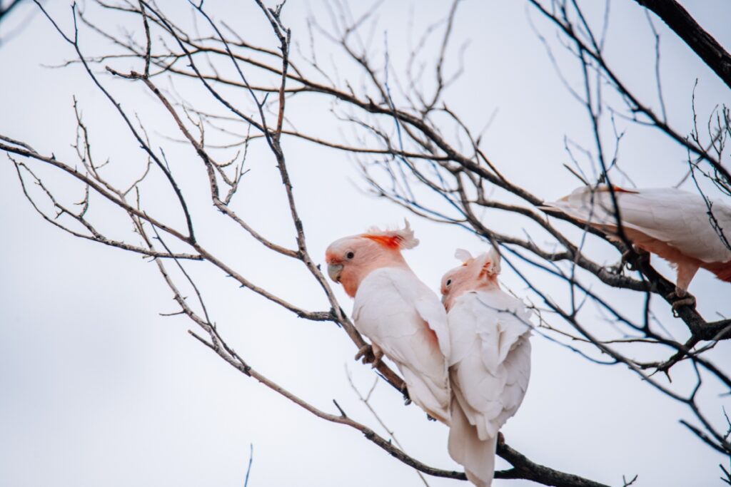
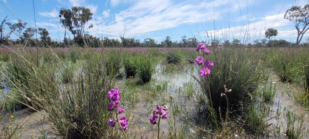
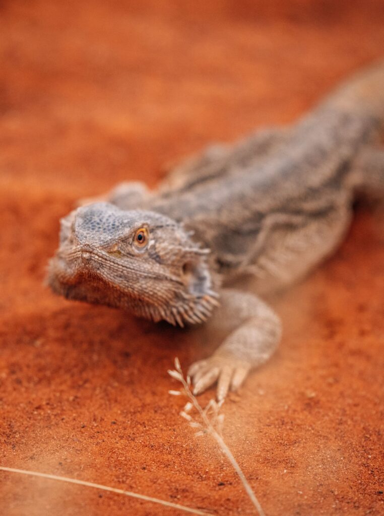
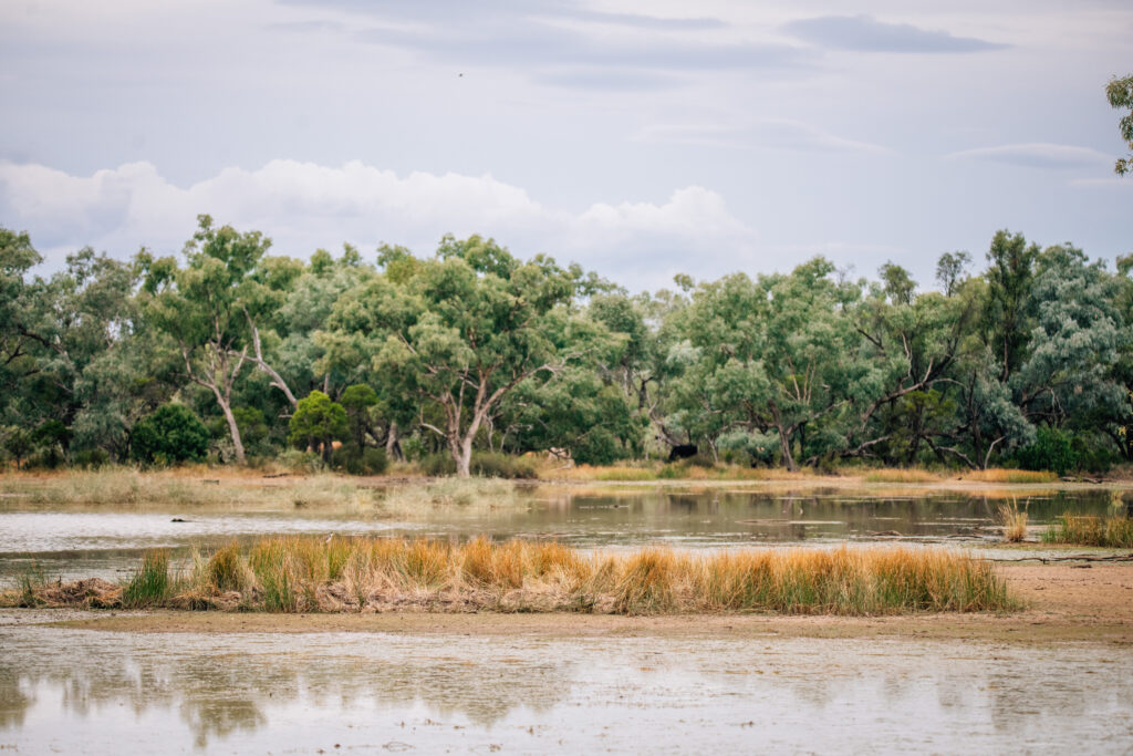
Given its unique environmental values, baseline ecological surveys are being undertaken to inform the development of an Accounting for Nature Framework environmental account, which will capture co-benefits of the carbon farming project throughout its life. Nebine Creek, located on the western boundary of Wongamere, is considered a significant riparian (river bank) biodiversity corridor, which aims to maintain and encourage connectivity of riparian areas and associated ecosystems. Wongamere contains essential habitat for koalas as well as other protected, vulnerable wildlife, including:
- Grey Falcon
- Painted Honeyeater
- Yakka Skink
- Murray cod.
Wongamere is protected under a permanence period of 100 years. Developing projects with a 100-year permanence periods ensures the carbon sequestered is permanent well beyond our lifetimes, and that the ecosystems and habitat restored are conserved over the long term.
UN Sustainable Development Goals
The projects may contribute to the following United Nations Sustainable Development Goals: